- Accidents and Incidents
- Posts
- For the Avoidance of Doubt
For the Avoidance of Doubt
(Fun with Google Earth)
Sylvia Wrigley
March 21, 2024
I’ve had a few people ask if I am affected by the volcano eruption in Iceland. The answer is no, not at all. Unless something happens to affect flights going in and out of Keflavík, then as far as I’m concerned, it happened on a different planet. I decided it might be fun to make a visual depiction of where I am at the moment.
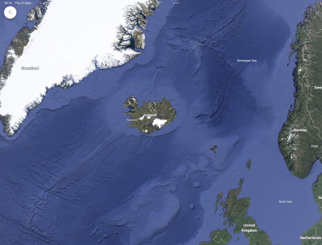
This is Iceland, which always looks so tiny on the maps:
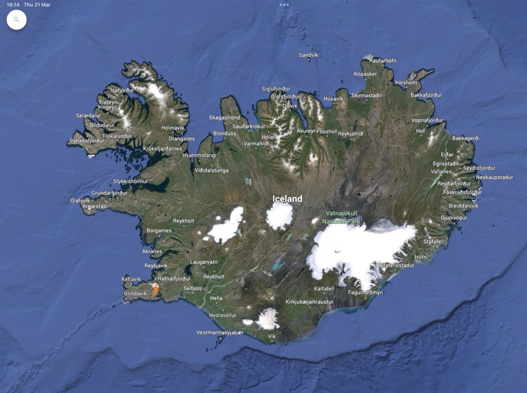
As we zoom in, though, it’s clear that it isn’t really that small. The capital city, Rekjavík, is in the southwest. The volcano that erupted last weekend is south of Rekjavík. I added a little volcano emoji (not to scale).
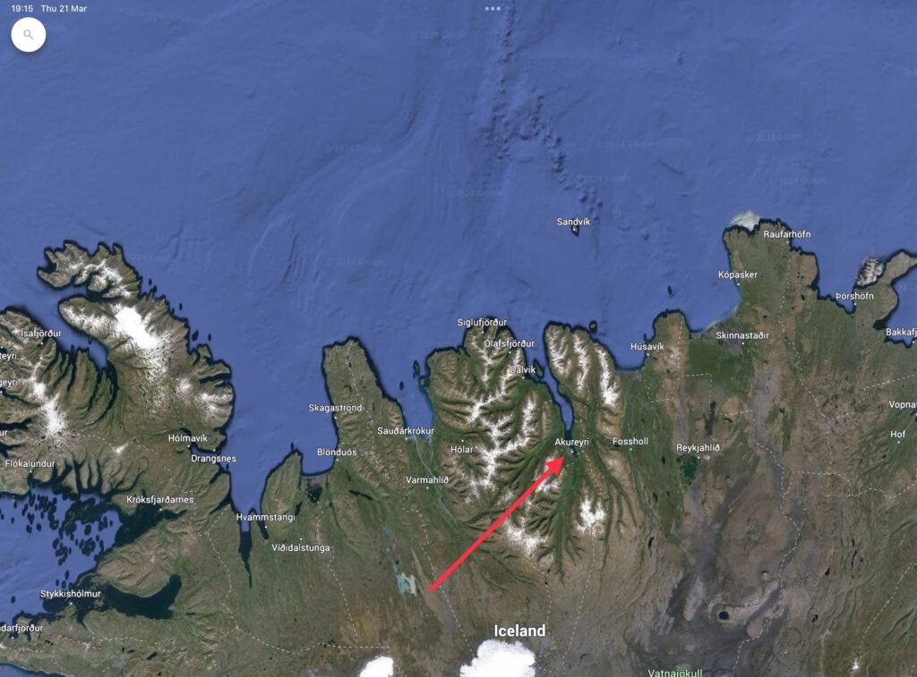
But I’m on the north coast. To get here, I took a 45-minute flight to Akureyri. I was going to go by bus but it was almost 7 hours and there was apparently a risk that some of the roads might not be open. Also, buses are expensive: a return flight was only 30€ more.
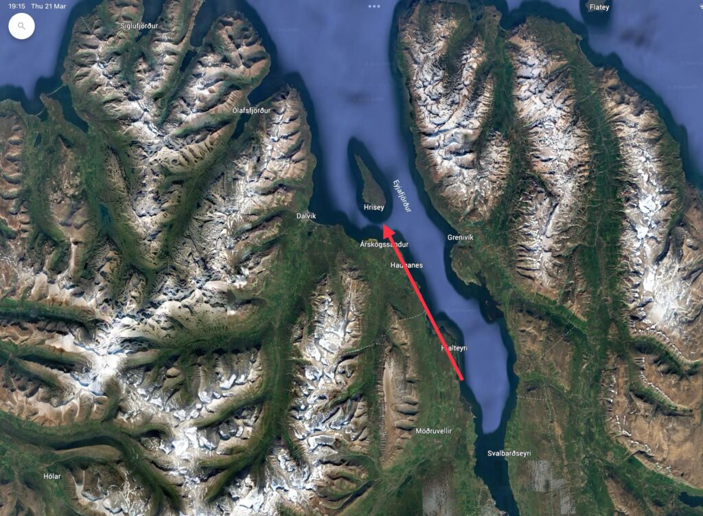
Akureyri is the largest town outside of the Rekjavík region and known as the capital of the north. It’s at the base of the Eyjafjörður Fjord.
The island of Hrísey is about halfway up the Eyjafjörður Fjord, with a ferry based at Árskógssandur that runs a few times a day. In order to get here, I took a bus from Akureyri to Litli Árskógssandur and then walked 30 minutes to the harbour to catch the ferry.
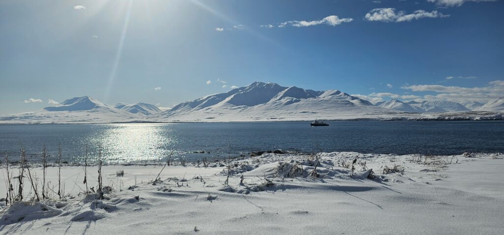
There’s only one settlement on Hrísey and I’m staying in the Old School which has been converted to have four bedrooms and is now run as a residency project by the art group Nordanbal.
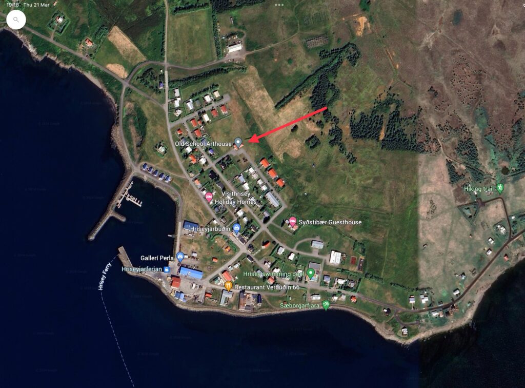
I have to say that the reality is a lot whiter and colder than it looks like from that Google Earth shot.